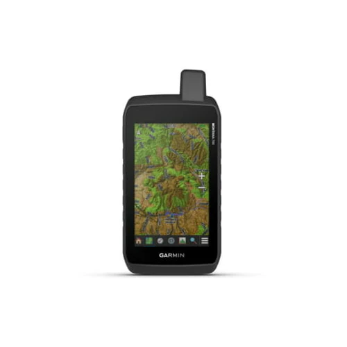
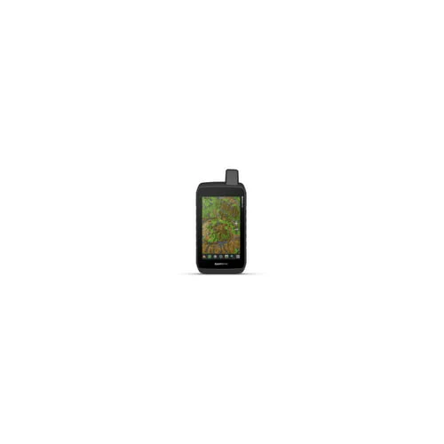
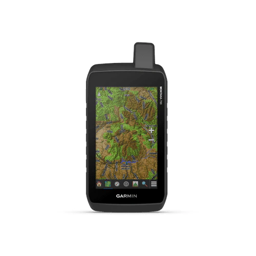
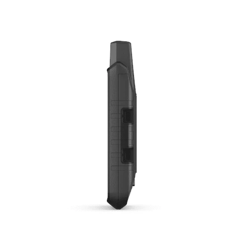
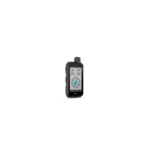
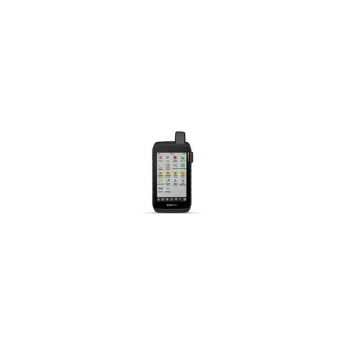
Garmin Montana 700 Rugged GPS Touchscreen Navigator
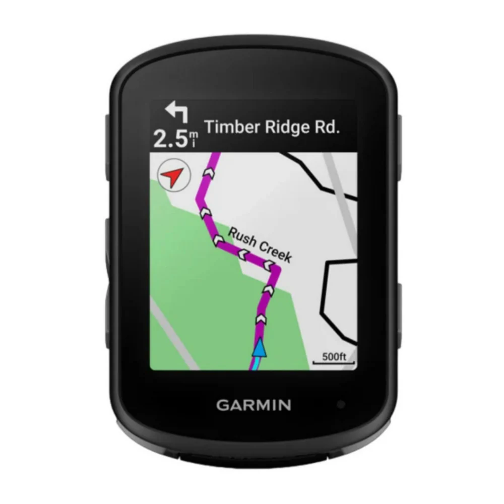
With routable mapping for roads and trails, the Garmin Montana 700 handheld brings advanced outdoor features into a sturdy 5-Inch format that’s ideal for navigation on foot, bike, kayak, ATV, and more. This durable, water-resistant handheld is tested to U.S. military standards and features a glove-friendly 5-Inch touchscreen that’s 50% larger than previous Montana models.
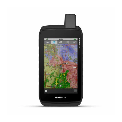
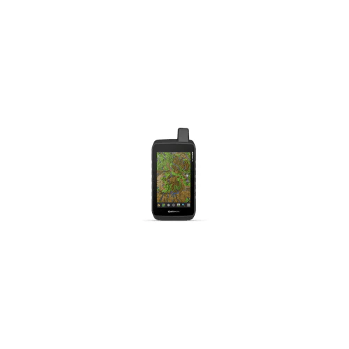
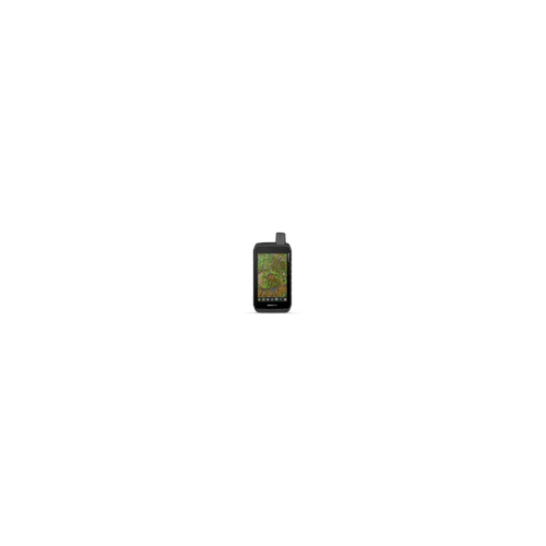
Topoactive Maps
To navigate your adventures, use preloaded topographical maps for the U.S. and Canada. View terrain contours, elevations, coastlines, rivers, landmarks, and more.
Public Land Boundaries
Optional display of federal public land boundaries on topographical maps helps you know that you’re venturing where you’re supposed to be.
Satellite Views
Use direct-to-device downloads of BirdsEye Satellite Imagery (no annual subscription required) to see photo-realistic views and create waypoints based on landmarks.
Additional Maps
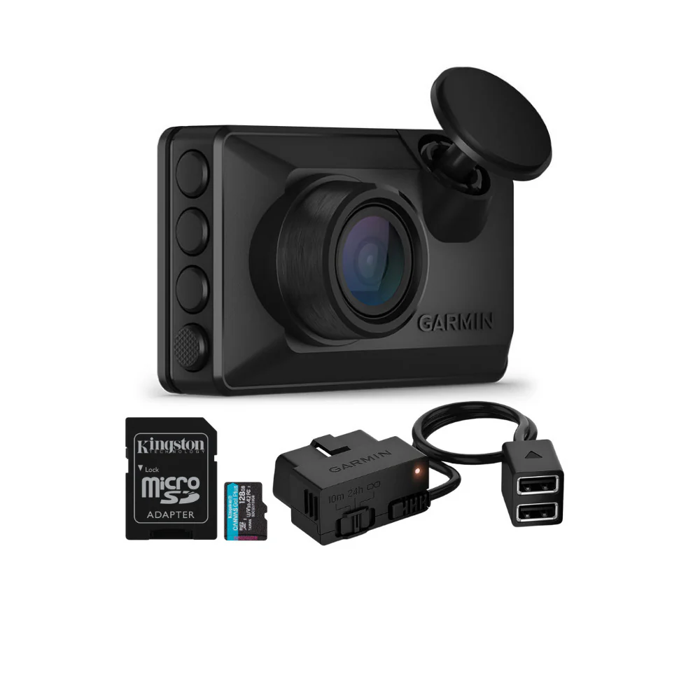
With 16 GB of onboard memory and a microSD card slot for expandable storage, you can download even more maps such as City Navigator for your drive or BlueChart for the water.
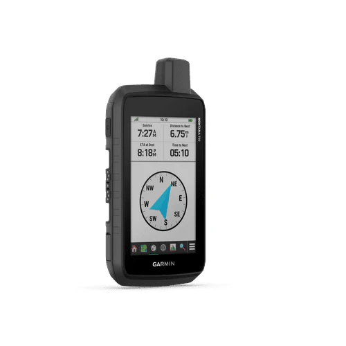
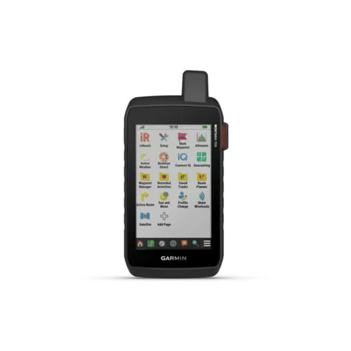
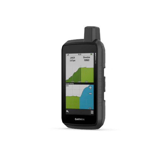
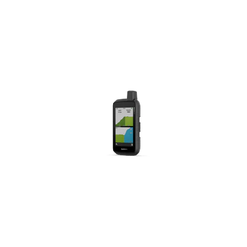
ABC Sensors
Navigate your next trail with ABC sensors, including an altimeter for elevation data, a barometer to monitor the weather, and 3-axis electronic compass.
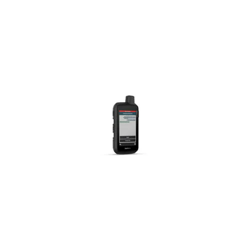
Active Weather
Use cellular connectivity to access up-to-date Active Weather forecasts through the Garmin Connect app.
Dog Tracking
For hunters and trainers, this Montana syncs with compatible Astro or Alpha series handhelds (sold separately) to help track sporting dogs in the field.
Wikiloc Trails
This preloaded app lets you easily download hiking, cycling, and other Wikiloc trails shared by outdoor enthusiasts like you. Get a free 60-day Wikiloc Premium trial to try this and other exclusive features.
Multi-GNSS Support
Access to GPS, GLONASS, and GALILEO satellite networks enables Montana 700 to track in more challenging environments than GPS alone.
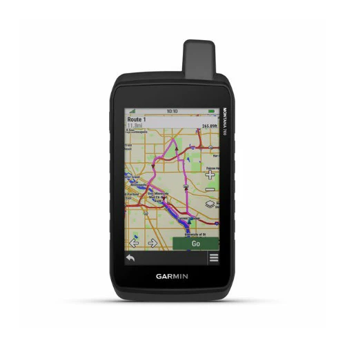
Location Sharing
The LiveTrack feature lets you wirelessly connect your device with other compatible Garmin GPS users, so they can follow your tracks, routes, waypoints, and adventures.
Expedition Mode
Trek far and wide off-grid. Use Expedition mode, an ultralow-power GPS reference, to keep Montana tracking for a week or more between recharges.
Battery Options
An internal, rechargeable lithium-ion battery pack provides more than 18 hours of battery life in GPS mode. It can also be powered with traditional AA batteries.
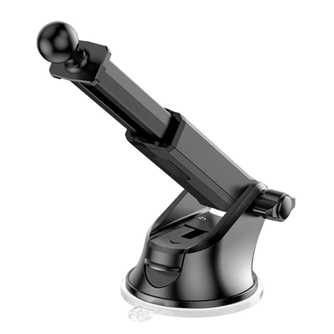
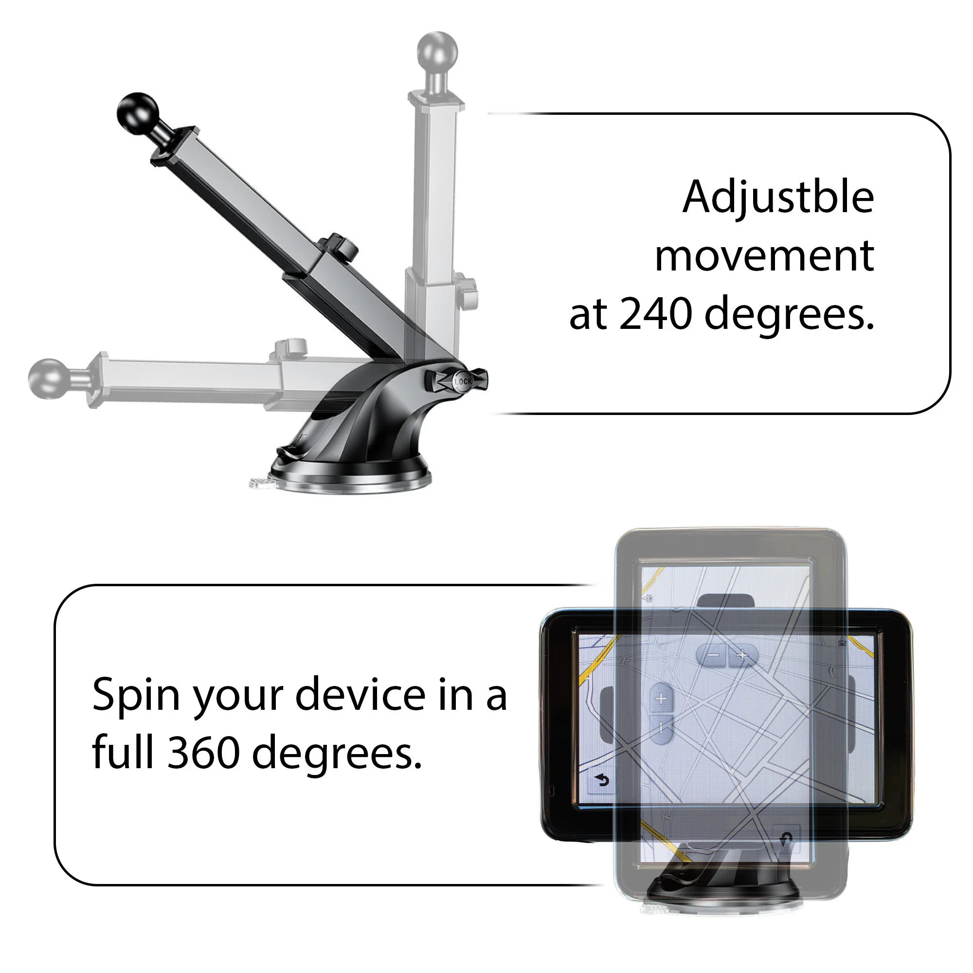
Vehicle Mounts
A variety of Montana handheld-compatible mounts (sold separately) lets you adapt your navigator for use on ATVs, boats, cars, motorcycles, RVs or other vehicles.
Original: $599.99
-65%$599.99
$210.00More Images


Garmin Montana 700 Rugged GPS Touchscreen Navigator
With routable mapping for roads and trails, the Garmin Montana 700 handheld brings advanced outdoor features into a sturdy 5-Inch format that’s ideal for navigation on foot, bike, kayak, ATV, and more. This durable, water-resistant handheld is tested to U.S. military standards and features a glove-friendly 5-Inch touchscreen that’s 50% larger than previous Montana models.
Topoactive Maps
To navigate your adventures, use preloaded topographical maps for the U.S. and Canada. View terrain contours, elevations, coastlines, rivers, landmarks, and more.
Public Land Boundaries
Optional display of federal public land boundaries on topographical maps helps you know that you’re venturing where you’re supposed to be.
Satellite Views
Use direct-to-device downloads of BirdsEye Satellite Imagery (no annual subscription required) to see photo-realistic views and create waypoints based on landmarks.
Additional Maps
With 16 GB of onboard memory and a microSD card slot for expandable storage, you can download even more maps such as City Navigator for your drive or BlueChart for the water.
ABC Sensors
Navigate your next trail with ABC sensors, including an altimeter for elevation data, a barometer to monitor the weather, and 3-axis electronic compass.
Active Weather
Use cellular connectivity to access up-to-date Active Weather forecasts through the Garmin Connect app.
Dog Tracking
For hunters and trainers, this Montana syncs with compatible Astro or Alpha series handhelds (sold separately) to help track sporting dogs in the field.
Wikiloc Trails
This preloaded app lets you easily download hiking, cycling, and other Wikiloc trails shared by outdoor enthusiasts like you. Get a free 60-day Wikiloc Premium trial to try this and other exclusive features.
Multi-GNSS Support
Access to GPS, GLONASS, and GALILEO satellite networks enables Montana 700 to track in more challenging environments than GPS alone.
Location Sharing
The LiveTrack feature lets you wirelessly connect your device with other compatible Garmin GPS users, so they can follow your tracks, routes, waypoints, and adventures.
Expedition Mode
Trek far and wide off-grid. Use Expedition mode, an ultralow-power GPS reference, to keep Montana tracking for a week or more between recharges.
Battery Options
An internal, rechargeable lithium-ion battery pack provides more than 18 hours of battery life in GPS mode. It can also be powered with traditional AA batteries.
Vehicle Mounts
A variety of Montana handheld-compatible mounts (sold separately) lets you adapt your navigator for use on ATVs, boats, cars, motorcycles, RVs or other vehicles.
Product Information
Product Information
Shipping & Returns
Shipping & Returns
Description
With routable mapping for roads and trails, the Garmin Montana 700 handheld brings advanced outdoor features into a sturdy 5-Inch format that’s ideal for navigation on foot, bike, kayak, ATV, and more. This durable, water-resistant handheld is tested to U.S. military standards and features a glove-friendly 5-Inch touchscreen that’s 50% larger than previous Montana models.
Topoactive Maps
To navigate your adventures, use preloaded topographical maps for the U.S. and Canada. View terrain contours, elevations, coastlines, rivers, landmarks, and more.
Public Land Boundaries
Optional display of federal public land boundaries on topographical maps helps you know that you’re venturing where you’re supposed to be.
Satellite Views
Use direct-to-device downloads of BirdsEye Satellite Imagery (no annual subscription required) to see photo-realistic views and create waypoints based on landmarks.
Additional Maps
With 16 GB of onboard memory and a microSD card slot for expandable storage, you can download even more maps such as City Navigator for your drive or BlueChart for the water.
ABC Sensors
Navigate your next trail with ABC sensors, including an altimeter for elevation data, a barometer to monitor the weather, and 3-axis electronic compass.
Active Weather
Use cellular connectivity to access up-to-date Active Weather forecasts through the Garmin Connect app.
Dog Tracking
For hunters and trainers, this Montana syncs with compatible Astro or Alpha series handhelds (sold separately) to help track sporting dogs in the field.
Wikiloc Trails
This preloaded app lets you easily download hiking, cycling, and other Wikiloc trails shared by outdoor enthusiasts like you. Get a free 60-day Wikiloc Premium trial to try this and other exclusive features.
Multi-GNSS Support
Access to GPS, GLONASS, and GALILEO satellite networks enables Montana 700 to track in more challenging environments than GPS alone.
Location Sharing
The LiveTrack feature lets you wirelessly connect your device with other compatible Garmin GPS users, so they can follow your tracks, routes, waypoints, and adventures.
Expedition Mode
Trek far and wide off-grid. Use Expedition mode, an ultralow-power GPS reference, to keep Montana tracking for a week or more between recharges.
Battery Options
An internal, rechargeable lithium-ion battery pack provides more than 18 hours of battery life in GPS mode. It can also be powered with traditional AA batteries.
Vehicle Mounts
A variety of Montana handheld-compatible mounts (sold separately) lets you adapt your navigator for use on ATVs, boats, cars, motorcycles, RVs or other vehicles.